
ALTA Surveys for Recently Created Commercial Parcels
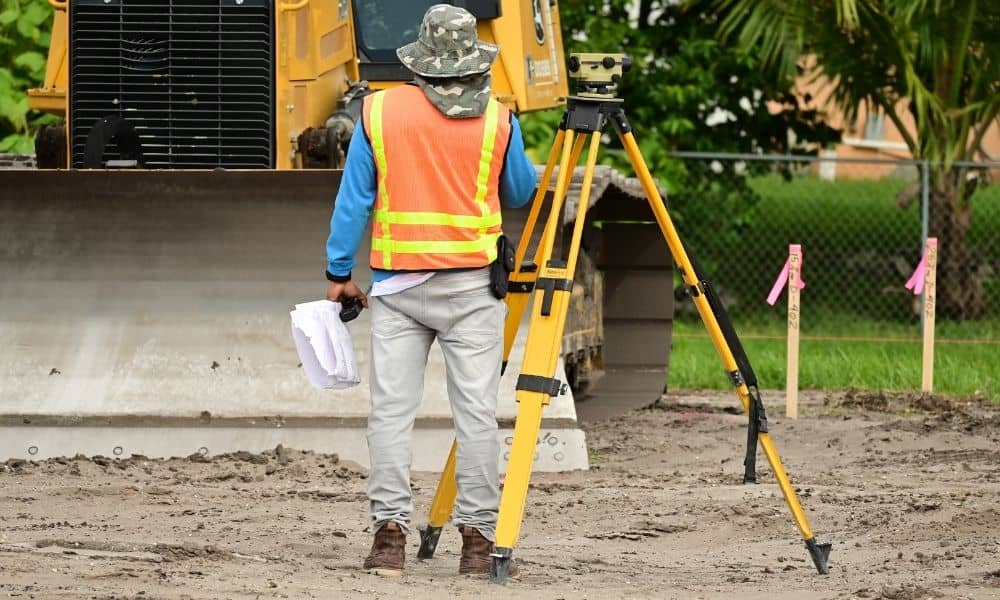
A new commercial parcel does not always have clean records right away. The subdivision plat might be recorded. But the county map and tax records can still show the old lines for weeks or months. This can slow down a sale, a loan, or site planning.
An ALTA survey helps sort out where a new parcel stands. It shows what is true on the ground and on paper. Delaware has seen more commercial land splits in its growing areas. This question comes up a lot. Here is how it works.
When a New Commercial Parcel Is Ready for an ALTA Survey
A new commercial parcel is ready for an ALTA survey once its plat or deed is recorded. This recording gives the parcel its own legal identity. It is now separate from the larger tract it came from.
Do not order a full ALTA survey before recording happens. The surveyor needs the recorded legal description. A draft plat is not enough. Lines on a draft can still change before the final version is recorded. Field work done too early may need to be redone.
Ask your title company or attorney when recording will happen. That date decides when the surveyor can start. This matters most if your closing date is tight.
Starting With the Parcel’s First Recorded Legal Documents
The surveyor starts with the parcel’s first recorded documents. This means the recorded plat, the new deed, and any survey certificate on file with the county. It does not mean the old deed for the larger tract.
These documents set the parcel’s boundary lines and size. The surveyor checks them against real measurements taken in the field. If something does not match, the surveyor notes it.
Ask if the original tract had any older surveys. An old ALTA survey of the parent tract can still help. It gives the surveyor useful markers and history. Ask the seller or their attorney about any past survey work.
Managing Gaps Between Recording, GIS, and Assessor Records
Recording a plat at the courthouse does not update every system right away. County GIS maps and tax records often lag behind. How long the lag lasts depends on the county.
This creates a few problems for a new parcel. The online GIS map might still show the old, combined tract. Tax records might not show the new parcel number yet. A title search done too soon can miss the new recording.
None of this means the parcel is invalid. It just means you should check the recorded plat itself. Do not rely only on the GIS map or tax record. An ALTA survey uses the recorded documents and real ground conditions. It does not depend on GIS or tax records catching up.
If you need current parcel details for a loan, ask the title company to pull the plat straight from the recorder of deeds. Do not rely only on the county’s online map tool.
Separating ALTA Due Diligence From Development Approvals
An ALTA survey answers questions about the land itself. It does not say whether you can build your project as planned. These are two separate steps.
The survey shows boundaries, recorded easements, encroachments, and access points. It shows what exists on the land today. Development approvals are different. Site plan review and zoning checks go through the local city or county. That process runs on its own schedule.
A parcel can pass ALTA due diligence with no issues. It can still hit problems during site plan review. This often happens with setbacks or easements that shifted when the parcel was created. Do not assume a clean survey means a smooth permitting process. Check zoning and site plan rules with the local planning office too. Do this alongside the survey, not instead of it.
Delaware’s District Expansion and New-Parcel Due Diligence
Delaware has seen steady growth in commercial and industrial land splits. This is common near its major highways and rail areas. Kent and Sussex counties have seen more of this growth. It is moving south of the Wilmington and Newark markets. Many new commercial parcels come from larger farms or empty land.
A recent recording date paired with a slow GIS update is common in these areas. It is not a red flag. Check the parcel’s legal status through the recorded plat. Back it up with a current ALTA survey. This gives you a more solid picture than county maps alone.
If your timeline is tied to closing or financing, plan for the survey to happen after recording. Ask your surveyor what older records exist from the original tract.
